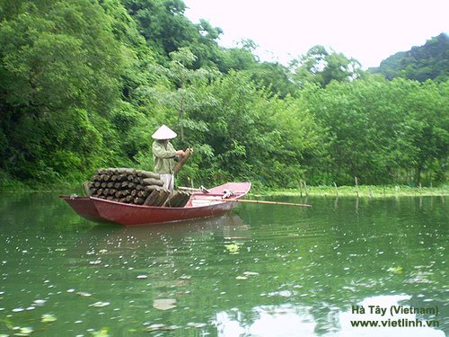
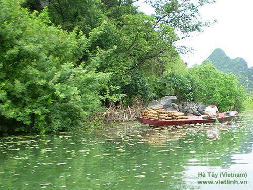
Ha Tay (Viet Nam)
During our journey through the provinces of Nghe An, Thanh Hoa, Thai Binh, and Ha Tay, the image of hardworking farmers in the fields and shrimp ponds has always been a source of inspiration for us. It fuels our passion to build the Viet Linh Portal to be increasingly practical and connected to our readers.
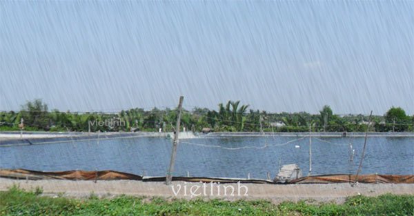
Below are some notes recorded by Viet Linh, sharing the hardships of farmers who work tirelessly day and night in the fields—contributing to Vietnam’s position as a global leader in the export of seafood and rice.


Ha Tay
Ha Tay is located on the right bank of the Da and Red Rivers, within the Red River Delta region.
- Area: 2,142.75 km²
Due to its topography, Ha Tay consists of three distinct regions:
- The lowland area: With fertile soil, this region is well-suited for intensive wet rice cultivation with high productivity. It also supports the growth of vegetables and short-term industrial crops.
- The midland area: This region has great potential for industrial tree planting, fruit farming, and large livestock breeding.
- The mountainous area: Known for its forest resources, including many valuable timber species, this area is ideal for growing fruit trees and high-value medicinal plants. It is also rich in mineral resources such as limestone, red stone, and mineral water.
In addition to agriculture, Ha Tay is renowned for its many traditional handicraft villages, including woodwork, blacksmithing, embroidery, lace-making, and especially Ha Dong silk. The province’s construction material manufacturing and agricultural product processing industries also show strong development potential.
Ha Tay’s diverse and scenic landscapes make it a promising area for tourism development. Key destinations include Thay Mountain (Quoc Oai), Tan Vien Mountain (Ba Vi) tied to the legend of Son Tinh and Thuy Tinh, and especially the Huong Son scenic complex (My Duc), dubbed “the foremost cave under Southern Heaven.” Other notable areas include Dong Mo – Ngai Son – Suoi Hai, forming three interlinked tourism clusters: Son Tay – Ba Vi, Huong Son, and Ha Dong and its surrounding areas.
- Western hilly and mountainous region: Covers about 704 km², accounting for one-third of the province’s total area. Mountain peaks exceed 300 meters in elevation, with Ba Vi Peak being the highest. The Ba Vi National Park spans 74 km².
- Hilly area: Covers over 530 km², mostly low hills (average elevation 100 m), interspersed with valleys.
- Eastern lowland area: Covers 1,444 km², making up two-thirds of the province. The average elevation is 5–7 meters above sea level. The terrain is typical of the Northern Delta, with low-lying areas bordered by dikes.
Climate
Ha Tay has a humid subtropical monsoon climate, with a dry, cold winter.
- Lowland region: Average elevation 5–7 meters; influenced by sea winds. Hot and humid, with an average annual temperature of 23.8°C and average rainfall of 1,700–1,800 mm.
- Hilly region: Average elevation 15–50 meters; continental climate with influence from the Lao wind. Average temperature: 23.5°C; rainfall: 2,300–2,400 mm.
- Ba Vi mountainous area: Elevation from 700 meters and above. Cool climate, average temperature 18°C, and rainfall over 2,300 mm.
- Annual sunshine hours: 1,300–1,700 hours
- Average humidity: 84–86%
Water Resources
Ha Tay has abundant surface and groundwater sources:
- Surface water: With a dense and evenly distributed river and stream network (average 60 km/km²), the total water volume is about 180–200 billion m³. The province also has many lakes and ponds (14 lakes/ponds ranging from 50 to 1,260 hectares).
- Groundwater: Fairly abundant, found at depths from 10 to 80 meters.
© Viet Linh 2008. Ref hatay.gov.vn