Nghe An (Viet Nam)
During our journey through the provinces of Nghe An, Thanh Hoa, Thai Binh, and Ha Tay, the image of farmers working diligently in the fields and shrimp ponds has always been a source of inspiration, fueling our passion to make the Viet Linh News Portal more relatable and practical for our readers.
Below are Viet Linh’s observations, sharing the hardships faced by farmers who work tirelessly day and night in the fields, contributing to Vietnam’s leading position in the world in seafood and rice exports.


Area: 16,487 km²
Provincial capital: Vinh City
Towns and districts: Cua Lo Town, Thai Hoa Town, and 17 districts including Dien Chau, Quynh Luu, Yen Thanh, Do Luong, Nghi Loc, Hung Nguyen, Nam Dan, Thanh Chuong, Tan Ky, Anh Son, Con Cuong, Nghia Dan, Quy Hop, Quy Chau, Que Phong, Tuong Duong, and Ky Son.
Nghe An lies in a tropical monsoon climate zone, directly influenced by the hot, dry southwest monsoon (from April to August) and the cold, humid northeast monsoon (from November to March of the following year).
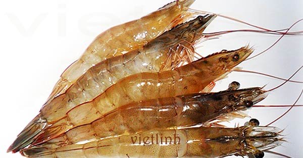
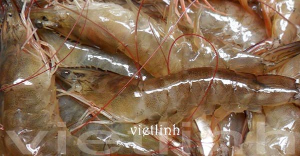
Its territorial waters cover an area of 4,230 square nautical miles. Up to a depth of 40 meters, the seabed is relatively flat; beyond this depth, there are many reefs and sandbanks. The marine area of Nghe An is home to many species of seafood with high economic value.
Cua Lo Beach is one of the most beautiful and attractive beaches in the region, offering great potential for tourism development in Nghe An.
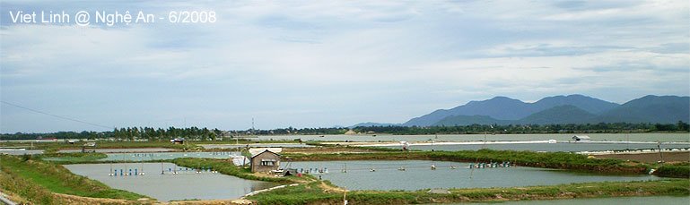
Nghe An’s coastline stretches for 82 kilometers and includes six estuaries, which are favorable for marine transportation, port development, salt production (1,000 hectares), and aquaculture.
In 2006, the agriculture, forestry, and fishery sector contributed 33.09% of Nghe An’s GDP, consistently remaining one of the province’s key economic drivers.
© Viet Linh 2008