Thai Binh (Viet Nam)
Thai Binh is a coastal province located in the Red River Delta region. The province consists of seven districts (Dong Hung, Hung Ha, Kien Xuong, Quynh Phu, Tien Hai, Thai Thuy, Vu Thu) and one city (Thai Binh City), with a total of 284 communes, wards, and towns.
Thai Binh lies within the tropical monsoon climate zone. The average annual temperature ranges from 23–24°C (with extremes between 4°C and 38°C). Average rainfall is between 1,400 mm and 1,800 mm. The number of sunshine hours per year ranges from 1,600 to 1,800, and average humidity is about 85–90%.
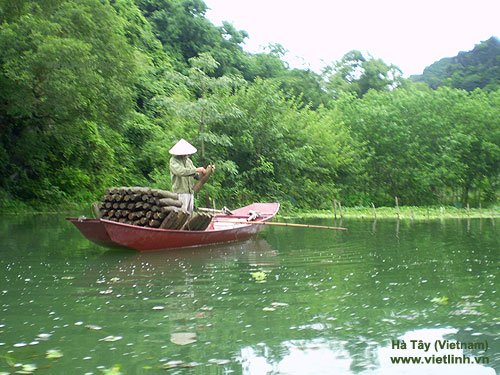
During our journey through the provinces of Nghe An, Thanh Hoa, Thai Binh, and Ha Tay, the image of farmers toiling in the fields and shrimp ponds has always inspired us, fueling our passion to make the Viet Linh Online Portal more approachable and practical for readers. Below are Viet Linh’s observations, sharing the hardships faced by farmers who work diligently day and night, contributing to Vietnam’s top global position in seafood and rice exports.


The province is enclosed by a network of rivers and the sea. It has over 50 km of coastline and four major rivers crossing its territory: to the north and northeast is the Hoa River (35.3 km), to the north and northwest is the Luoc River (a branch of the Red River, 53 km), to the west and south is the lower section of the Red River (67 km), and the Tra Ly River (a first-level branch of the Red River, 65 km) runs through the province from west to east. There are five major estuaries: Van Uc, Diem Dien, Ba Lat, Tra Ly, and Lan. These rivers are affected by the tidal regime. In summer, water levels rise quickly with high flows and silt content, while in winter, flow decreases significantly and sediment is minimal. Saltwater can penetrate inland up to 15–20 km.
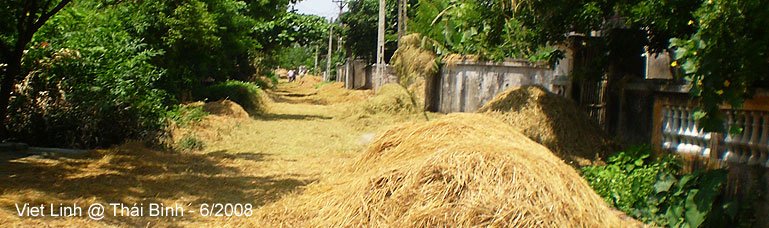
Thai Binh’s soil is fertile and rich due to alluvial deposits from the Red River and Thai Binh River, earning its reputation for “sticky rice and golden fields.” The province has an efficient irrigation system that supports double and triple cropping, yielding 14–15 tons per hectare. It is also undergoing agricultural restructuring to reach the goal of fields generating over 50 million VND per hectare.
Total natural area: 153,596 hectares
- Annual crop area: 94,187 ha
- Utilized ponds and lakes: 6,018 ha
Most of the land is improved yearly and can support 3–4 crops per year. Around 40,000 ha is suitable for winter crops.
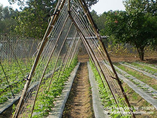
Besides rice farming, Thai Binh’s land is well-suited for a variety of crops such as:
- Food crops (potatoes, cucumbers, lettuce, onions, garlic, peanuts, soybeans, chili for export)
- Short-term industrial crops (jute, mulberry, sedge)
- Tropical fruit trees (oranges, apples, guavas, lychees, longans, bananas)
- Ornamental plants and flowers
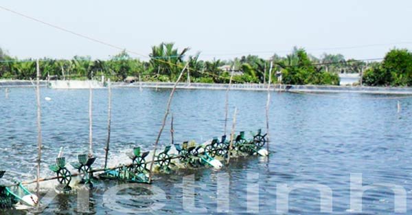
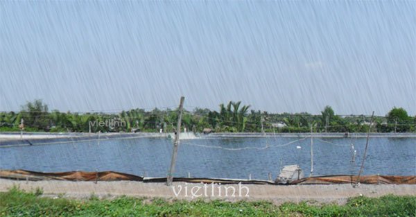
Aquatic resources and fisheries are among the province’s strengths. Thai Binh has three distinct aquatic zones: freshwater, brackish, and saltwater.
- Saltwater: Covers about 17 km², mainly for marine fishing. The estimated marine resource in Thai Binh’s coastal waters is around 26,000 tons, including 24,000–25,000 tons of fish, 600–1,000 tons of shrimp, and 700–800 tons of squid. The maximum sustainable harvest is estimated at 12,000–13,000 tons. Main species include sardines, anchovies, gobies, bass, and shrimp species such as yellow shrimp, tiger shrimp, and whiteleg shrimp. Current operations remain mostly small-scale, supplying raw materials for traditional products like fish sauce and fermented shrimp paste, as well as feed processing. (Source: thaibinh.gov.vn)
- Brackish water: Found mainly at river mouths such as those of the Red, Thai Binh, and Tra Ly Rivers. These areas are rich in plankton and aquatic plants, providing natural food sources for aquaculture. The total brackish water area is about 20,705 ha (Tien Hai: 9,949 ha; Thai Thuy: 10,756 ha), with 5,453 ha suitable for aquaculture. Currently, 3,629 ha have been developed for shrimp, crab, clam, mussel farming, and seaweed cultivation.
Thai Binh also has coastal sand dunes and alluvial islets such as Con Vanh, Con Thu, and Con Den, along with mangrove forests well-suited for planting trees like mangroves and nipa palms. Nearly 5,000 ha of forest now serve to protect the land, act as natural wave barriers, and provide an ecological and scenic environment for coastal tourism.
- Freshwater areas: Total potential area for aquaculture is 9,256 ha, with about 6,020 ha currently in use. Additionally, over 3,000 ha of low-yield rice paddies can be converted to fish farming.
- Thai Binh has extensive grasslands along dikes and rivers, and a widespread system of canals, ponds, and lakes that support livestock raising, including buffalo, cattle, dairy cows, pigs, chickens, ducks, and fish.
- Freshwater resources for domestic and industrial use are abundant, mainly from surface water sources in large rivers.
© Viet Linh 2008