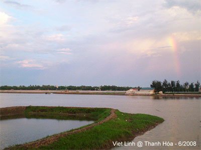
Thanh Hoa (Viet Nam)
During our journey through the provinces of Nghe An, Thanh Hoa, Thai Binh, and Ha Tay, the image of farmers working tirelessly in rice fields and shrimp ponds has always inspired our passion to make the Viet Linh News Portal more relatable and practical for readers.
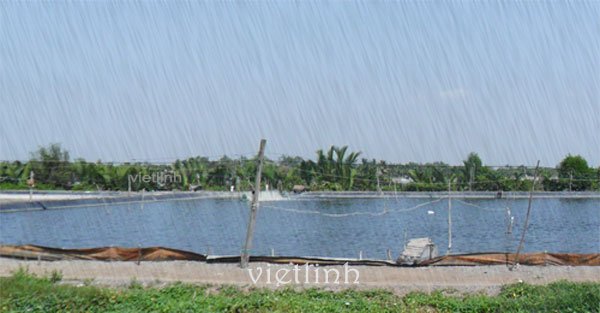
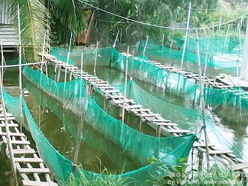
Below are some observations from Viet Linh, sharing the hardships of farmers who work day and night in the fields, contributing to Vietnam’s top global position in seafood and rice exports.


Thanh Hoa is located in the northernmost part of Central Vietnam, 150 km south of Hanoi and 1,560 km from Ho Chi Minh City.
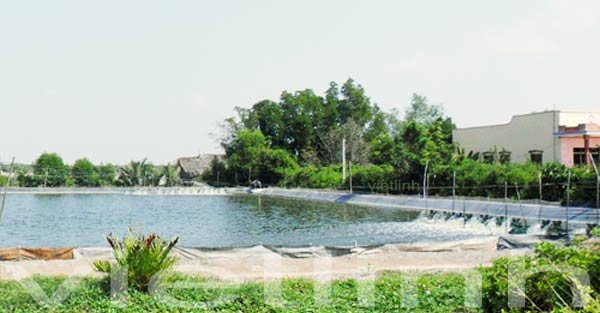
The coastal area of Thanh Hoa covers 110,655 hectares, accounting for 9.95% of the province’s total area, with a 102-kilometer-long coastline and relatively flat terrain. Running along the coast are river estuaries. The sandy coastal land, with an average elevation of 3–6 meters, is home to the famous Sam Son beach and vast areas favorable for aquaculture, industrial zones, and marine economic development.
Thanh Hoa lies in a tropical monsoon climate zone with four distinct seasons.
- The average annual rainfall is about 1,600–2,300 mm, with around 90–130 rainy days per year. Relative humidity ranges from 85% to 87%, and average sunshine hours are about 1,600–1,800 hours per year. The average temperature is 23–24°C (73–75°F), decreasing at higher altitudes.
- In winter, the prevailing winds are from the northwest and northeast, while in summer, winds mainly come from the east and southeast.
These weather and climate characteristics—abundant rainfall, high temperatures, and plentiful sunlight—create favorable conditions for agricultural, forestry, and fishery development.
Thanh Hoa has a total natural area of 1,112,033 hectares, including 245,367 ha of agricultural land, 553,999 ha of forest land, 10,157 ha of aquaculture land, and 153,520 ha of unused land. These include soil groups suitable for growing food crops, industrial crops, fruit trees, and forest trees.
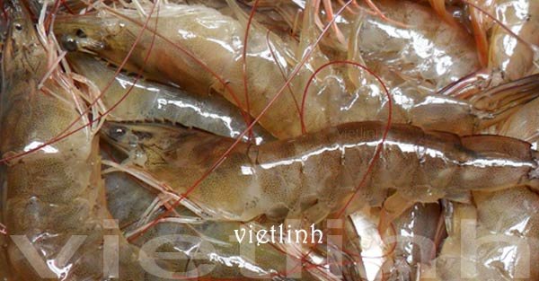
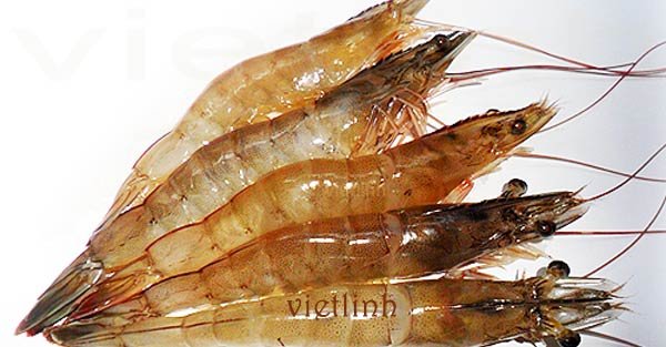
With a 102-km coastline and a maritime area of 17,000 km², Thanh Hoa boasts rich fishing grounds for fish and shrimp. Along the coast are five large estuaries that facilitate fishing vessels’ entry and exit. These are also major fishing centers of the province. The estuarine mudflat areas span thousands of hectares and are ideal for aquaculture, sedge cultivation, wave-resistant vegetation, and salt production. The saltwater areas around Me and Bien Son islands are suitable for raising grouper, pearl oysters, lobsters, and tens of thousands of hectares of nearshore waters are ideal for farming shellfish such as clams and cockles.
Thanh Hoa’s coastal waters have an estimated seafood reserve of about 100,000–120,000 tons, including many high-value species.
(Source: thanhhoa.gov.vn)
© Viet Linh 2008